 |
| Farmland in Dawes County, Nebraska, March 2012. (Photo by Daniel Binkard) |
 |
| Aerial view of Roundtop in the Oglala National Grassland, March 2012. (Photo by Daniel Binkard) |
 |
| Badlands near Toadstool Geological Park, March 2012. (Photo by Daniel Binkard) |
 |
| Cliffs near Roundtop in the Oglala National Grassland, March 2012. (Photo by Daniel Binkard) |
 |
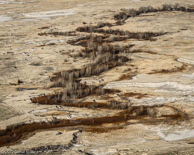
| Sand Creek in the Oglala National Grassland, March 2012. (Photo by Daniel Binkard) |
 |
| Afternoon sunlight shows the Oglala National Grassland landscape in strong relief, March 2012. (Photo by Daniel Binkard) |
 |
| Badlands near Toadstool Geological Park, March 2012. (Photo by Daniel Binkard) |
 |
| Aerial view of Toadstool Geological Park, March 2012. (Photo by Daniel Binkard) |
 |
| Ridgeline including Crow Butte and Little Crow Butte, March 2012. (Photo by Daniel Binkard) |
 |
| Aerial view of Crown Butte in the Nebraska National Forest, March 2012. (Photo by Daniel Binkard) |
 |
| Barrel Butte, Crow Butte, Little Crow Butte, and distant Red Cloud Buttes, March 2012. (Photo by Daniel Binkard) |
 |
| East Ash Creek in Dawes County, Nebraska, March 2012. (Photo by Daniel Binkard) |
 |
| Farmland contours in Dawes County, Nebraska, March 2012. (Photo by Daniel Binkard) |
 |
| “I couldn’t swear to every detail but it’s certainly true that it is a story.” Afternoon sunlight shows the Oglala National Grassland landscape in strong relief, March 2012. (Photo by Daniel Binkard) |
 |
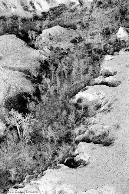
| Sand Creek tributary in the Oglala National Grassland, March 2012. (Photo by Daniel Binkard) |